
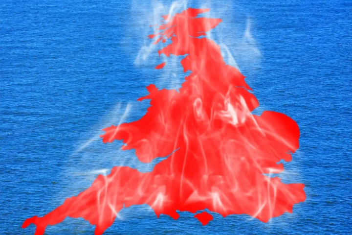
The final days of May have seen an exceptional spell of heat across the UK, with temperatures reaching levels rarely experienced at this time of year.
This has not only resulted in widespread hot conditions, but has also led to a number of records being broken, both during the day and overnight.
During Bank Holiday Monday, temperatures rose well beyond the late-May average, with a new UK May temperature benchmark set at 34.8°C. Since then, temperatures have climbed even higher in places, with 35.1°C recorded at Kew Gardens on Tuesday. These values are exceptional for late spring and underline just how unusual this spell of weather has been.
Widespread heat across the UK
This has not been a localised event. A significant number of observing sites have recorded their highest May temperatures on record, with more than a dozen locations exceeding the previous UK May record and several others matching it. Across the wider network, 163 sites have recorded new May daily maximum records, while 99 sites have seen their highest May minimum temperatures recorded.
Unusually mild nights have been a key feature of this event. At one site, temperatures did not fall below 21.4°C overnight, marking the first recorded “tropical night” in May in the UK, where temperatures remain above 20°C throughout. This is a notable milestone and highlights how the heat has persisted beyond daylight hours, limiting overnight cooling.
How unusual is this heat?
While hot weather can occur at any time during summer, the timing of this event is particularly significant. Meteorologically, May still falls within spring, and average temperatures are typically considerably lower than those seen in recent days.
Looking at UK-wide figures, the average maximum temperature on the peak day of the heat was 26.5°C. This compares to a late-May average closer to 16°C, meaning temperatures were more than 10°C above average across the country. This level of anomaly is an indication of just how extreme this event has been in a historical context.
When compared to previous notable heat events, including those in high summer, this late-May spell still stands out. While summer heatwaves can produce higher absolute temperatures, the scale of the departure from average conditions is comparable to some of the most significant events on record.
What has driven the heat?
The current conditions have been driven primarily by a persistent area of high pressure situated to the north and west of the UK, combined with a large pool of very warm air extending across western Europe.
This has effectively created a “heat dome” over the region, allowing temperatures to build day on day. Under high pressure, air tends to sink and compress, warming as it descends. This process, known as adiabatic warming, has played a key role in elevating temperatures to exceptional levels.
Airflow patterns have also been important. In recent days, the air reaching the UK has travelled over increasingly warm land and sea surfaces, including parts of Spain and western Europe, before moving northwards. This has further boosted temperatures by the time the air arrives over the UK.
Why temperatures have continued to rise
Another factor behind the intensity of the heat has been the depth of the warm air mass. Air descending from higher levels in the atmosphere warms as it sinks, and this has contributed to the unusually high surface temperatures observed.
READ MORE: Weekly weather quiz: Test your knowledge!
In addition, strong late-spring sunshine has enhanced daytime heating. With clear skies and light winds under high pressure, solar radiation has been able to heat the ground efficiently, allowing temperatures to rise rapidly during the day.
While the origins of the air mass have varied, it is this combination of subsiding air, warm trajectories and strong sunshine that has led to the extreme values recorded across the UK.
Gradual change later in the week
Although the hot conditions are set to continue in the short term, there are increasing signs of change as the week progresses. The high-pressure system responsible for the heat will begin to shift, allowing cooler air to move in from the North Sea at times.
This is likely to bring some respite for eastern areas first, where cloud and onshore breezes will lead to lower temperatures compared to earlier in the week. Further west, the heat will linger for longer, with temperatures remaining high across parts of Wales and south-west England.
In addition to the temperature changes, there is also the potential for showers and thunderstorms to develop. The heat provides the energy needed for convection, and where airflows converge, this can lead to the development of heavy showers or thunderstorms, particularly across central and southern areas.
READ MORE: When was the last time the UK reached 30°C in May?
Looking further ahead
Towards the end of the week and into the weekend, a broader shift in the weather pattern is expected. Fresher conditions will gradually spread from the west, as Atlantic weather systems begin to influence the UK.
As this happens, temperatures will fall back closer to average levels, although still remaining warm by the standards of late May. The transition may also bring more unsettled conditions, with an increasing chance of rain, particularly in the north.
There is some uncertainty around the timing and extent of this change, particularly regarding how quickly the hotter air will be displaced in the south and east. However, a general trend towards less extreme temperatures is expected.
Alongside the heat, there have also been reports of Saharan dust being carried northwards in the airflow. This can lead to hazy skies and may also impact air quality. If showers develop, this dust can be washed out, leaving deposits on surfaces.